Transform building management and surveys with drone technology.
We specialise in using commercial drones for building assessments and surveys, helping you manage your operations with ease and efficiency. Our drone services can be used to review storm damage, water leaks, roofing issues and dangerous areas with no requirements for edge protection and man-safe systems.

Precision technology for drone surveys and building assessments
Utilise high-quality drone surveys for a number of business use cases. Using state-of-the-art technology, we offer a range of aerial surveys and drone services:
Commercial drone services for various industries
Drone surveying is quicker, safer and less expensive than manual assessment and surveying processes, so can be beneficial for businesses across multiple sectors.
Commercial property and landowners can benefit from the analysis of large areas of land to ensure extensive portfolios can be effectively managed and maintained with regular, detailed inspections. With the additional benefit of remote drone surveyors, aerial surveys can provide enhanced security thanks to 24/7 off-site monitoring.
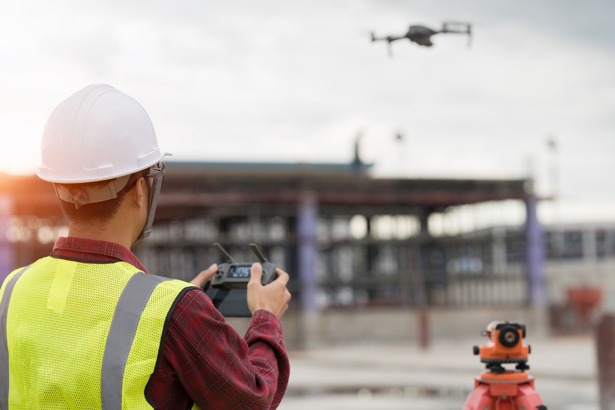
Within the construction industry, drone surveying provides an opportunity for accurate information to be acquired for immediate assistance on any kind of construction project. Volumetric calculations can be made from drone-acquired data, offering insights that even heavy-duty machinery such as cherry pickers can’t provide.
Why choose Virtual Services Group?
- Qualified pilots: Our drone surveyors are qualified and experienced in drone operations, compliant with the Civil Aviation Authority (CAA) Permission for Commercial Operations (CAA ID 11644) to ensure all drone flights have operational authorisation and are fully licensed.
- Industry-leading technology: Our drone surveying equipment is updated and enhanced to guarantee the best possible performance specifications, including GPS positioning, a 200x zoom camera for thermal imaging and laser measuring, and efficient waterproof functionality.
- Client-focused approach: Our drone surveyors undergo regular training to ensure our service delivers real value for our clients and directly exceeds your operational goals.
- A safety-focused service: Our priority is to ensure all drone survey projects are delivered safely and securely, including any necessary risk assessments and emergency procedures.
Our drone surveying process
Our drone survey services follow a simple, efficient process to ensure our pilots capture the information and data your project requires. To get things started, we’ll work with you to identify the key deliverables you expect from your drone survey, then begin a site survey to assess the area and prepare the drone for flight, prioritising quality, accuracy and compliance at all times.
With preparations complete, we can then begin your drone survey. Our fully insured aircraft pilots will complete your survey and visual inspections – with knowledge of your goals and expectations from our planning stage, you’ll have a full understanding of what images and sensor data the drone will collect.
Following the data collection drone survey, we’ll then use industry-leading tech and photogrammetry software to analyse the information acquired. We’ll create a report to showcase our findings – whether that includes a specific category of data or insights from topographic surveys, your report will be unique to your project requirements.
Our team is then on hand to support you long-term with additional data insights or drone survey suggestions, ensuring you’re equipped with the information you need to progress with your project.
Get in touch with our team
Ready to explore how drone surveys can enhance your commercial property? Our experienced team is qualified and accredited with the skills and drone fleet to provide quality results.
Contact Virtual Services Group to discuss our drone survey services and receive a custom quote.
"*" indicates required fields
Frequently asked questions
Drone surveying uses a drone, or unmanned aerial vehicle (UAV), to collect data remotely using high-resolution cameras and sensors. Drone surveys are often a safe and efficient way to gain data on dangerous or hard-to-reach aspects of a building or site.
A drone survey involves a UAV being flown over a chosen area by a remote pilot. This drone then completes aerial mapping and collates data to create accurate reports and representations of the information garnered. These insights can then provide key information for the success of projects across multiple sectors, from commercial property owners to use cases in the construction industry.
- Significant cost savings: By reducing the cost of traditional surveying methods, drone surveys offer a cost-effective way for data collection. Fully licensed pilots can control drones from a distance to easily review any hazardous or hard-to-reach areas, whilst reducing the need for expensive additional scaffolding and access equipment.
- Enhanced efficiency: Drone surveys secure critical information quickly and efficiently, often completing inspections faster than manual contractors, meaning a quick turnaround from survey completion to data provision for clients.
- Improved accuracy: Aerial surveys provide a range of high-accuracy data that reduces the risk of manual errors and enhances decision-making at an operational level.
- Increased safety: With the drone operator working at a distance, drones can access hard-to-reach or dangerous areas without putting any staff members at risk.
With the increase in drone usage and popularity in recent years, it’s critical to ensure any drone surveys are fully compliant with UK Civil Aviation Authority (CAA) regulations. This can include multiple elements from adhering to any flight restrictions in place and ensuring only fully licensed pilots are in control of the drone fleet.
